
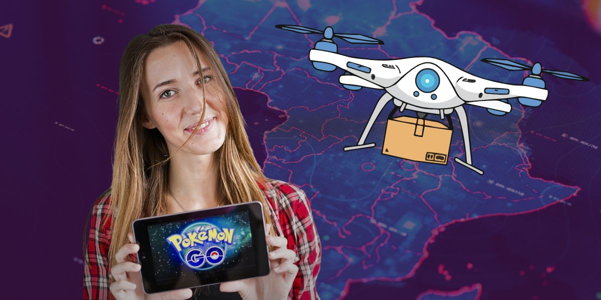
If you spent the better part of the last decade wandering through parks, dodging traffic, and looking slightly suspicious while pointing your phone at a local statue, we have some news. You haven’t just been catching virtual monsters; you’ve actually been a highly efficient, unpaid surveyor for the future of pizza delivery.
In a twist that feels like a cross between a sci-fi novel and a prank, it turns out that Niantic (the masterminds behind Pokémon GO) has been using the billions of images we’ve uploaded to train the next generation of autonomous delivery robots.
The “Visual Positioning” Secret Sauce
We’ve all been there: you’re trying to find a PokéStop, but your GPS blue dot is bouncing around like it’s had too many espressos. For a human, it’s a minor annoyance. For a 20-kilogram robot trying to navigate a narrow footpath with a piping-hot margherita inside, it’s a disaster.
Enter Niantic Spatial, a spin-off company that recently partnered with Coco Robotics. They’ve realised that the 30 billion images captured by Pokémon GO players are a goldmine. While we were chasing a rare Charizard, we were actually building a high-definition, 3D map of the world.
This technology is called a Visual Positioning System (VPS). Instead of relying on satellites miles above the Earth, these robots look at their surroundings, things like the specific curve of a park bench or the brickwork of a cafe and compare it to the massive database of player scans. This allows them to pinpoint their location with centimetre-level precision. As Niantic CEO John Hanke put it, getting Pikachu to run around a park and getting a robot to navigate a street is essentially the same problem.
From PokéStops to Pepperoni
Coco Robotics is now deploying these “VPS-trained” bots to handle the “last mile” of delivery. Because they aren’t just relying on spotty GPS, these robots can allegedly figure out which side of the street they’re on, where the ramps are, and how to avoid that one tricky curb that usually sends a robot into a spin.
It’s a fascinating look at the “imaginary gig economy.” Since 2020, the game has encouraged us to “scan” locations for in-game rewards like Poffins or Rare Candies. Most of us did it without a second thought. Now, those “scans” are the reason a robot in Los Angeles or Miami can find a customer’s front door without ending up in a bush.
Is It a Bit… Creepy?
Look, there’s no denying the “uncanny valley” feeling of realising your weekend hobby has been feeding a global mapping AI. Privacy advocates are already raising eyebrows, questioning whether players really knew they were mapping the world for commercial robotics when they were just trying to evolve their Eevee.
However, from a purely technical standpoint, it’s brilliant. Building a “living map” that updates every time someone hunts for a Pokémon is much more efficient than waiting for a Google Maps car to drive by once every two years.
So, the next time you see a neon-pink Coco robot scooting past you on the footpath, give it a nod. You didn’t just pay for the pizza; you probably helped it find its way there.


